Gummer’s How – Environmental Stewardship Scheme:
Gummer’s How itself is a lump of volcanic rock, known locally and nationally for its stunning walks and wonderful views.
On a clear day, you can see all along Winderemere, from Newby Bridge to Ambleside.
Recently, the land has been singled out as an area of habitat importance.
Management responsibility for the land is undertaken through the Higher Level Environmental Stewardship Scheme.
The scheme is designed to preserve and enhance the important ecological value of the upland vegetation on the fell.
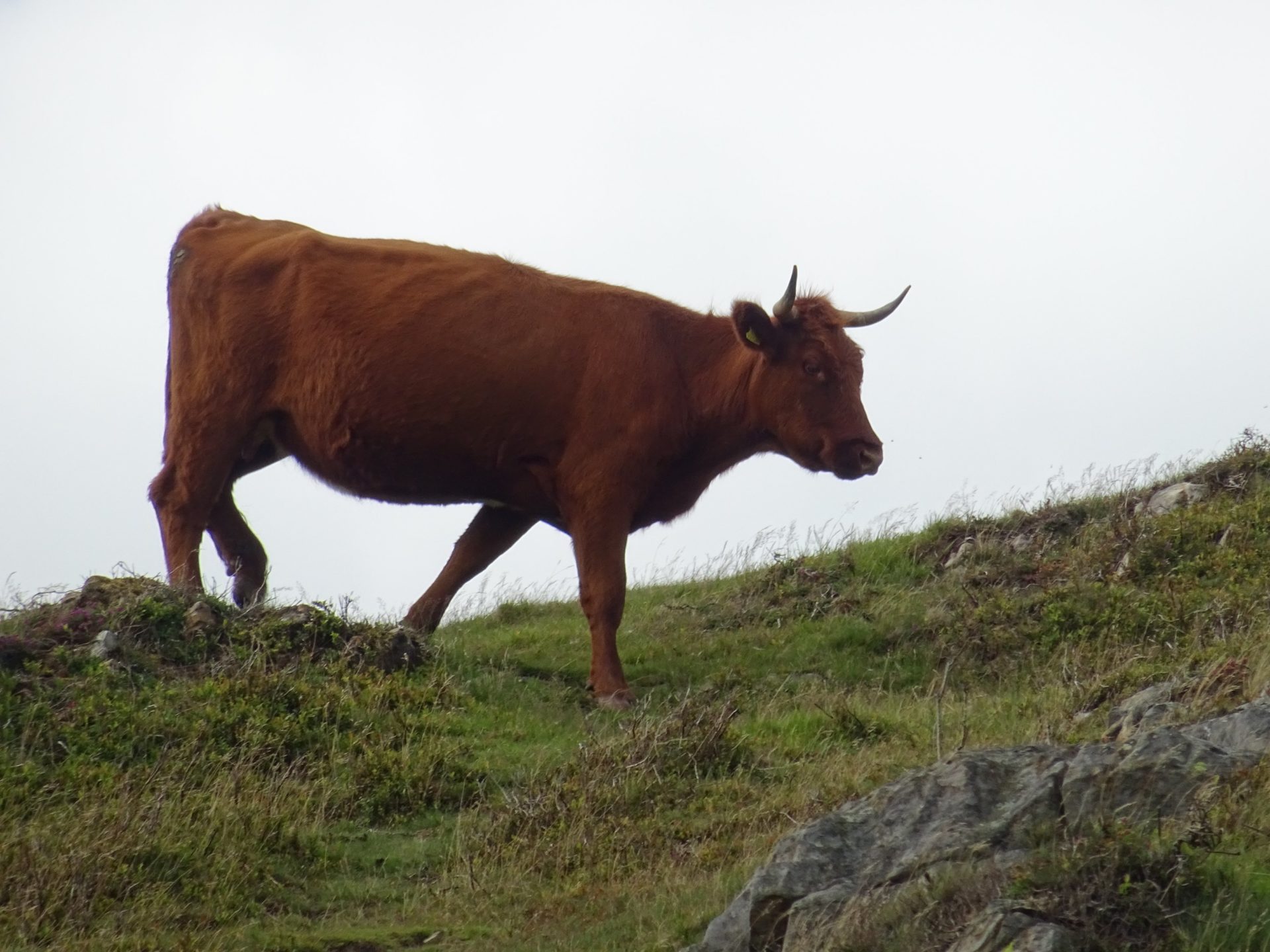
For the same reason, hardy Luing cattle have been introduced to Gummer’s How to assist vegetation management designed to encourage the important shrub and flower habitat once abundant on this fell.
On top of that, Luing cattle have been selected for their special characteristics adapted to survive on rugged hill ground.
Secondly, this hardy breed evolved on the island of Luing in Argyle off the west coast of Scotland.
It is a cross between Highland cattle selected for its ruggedness and hardiness, and Shorthorn, for their beef qualities.
As a result, the cattle have the best qualities from both breeds.
To conclude, Gummer’s How is 8 miles away from Lothlorien and is easily reached by car in less than 20 minutes.
